Drone Surveillance Enhancing Precision in Remote Endurance Competition Markets
David Vogel · Sep 3, 2026
Drone Surveillance Enhancing Precision in Remote Endurance Competition Markets
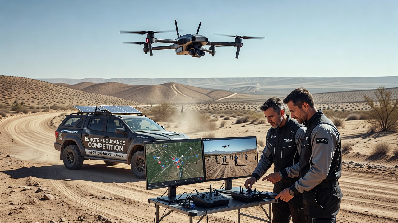
Remote endurance competitions take place across vast, isolated terrains where traditional tracking methods often fall short, and drone surveillance has stepped in to deliver consistent data on athlete positions, course conditions, and timing splits. Events such as multi-day desert ultras and high-altitude mountain traverses rely on these aerial systems because ground-based sensors struggle with signal loss and terrain interference. Data collected through drone networks now feeds directly into official results platforms, sponsor analytics, and performance databases that shape how organizers allocate resources and verify records.
Technical Capabilities Driving Adoption
Modern drones equipped with high-resolution cameras, LiDAR units, and real-time kinematic GPS achieve positioning accuracy within centimeters even when athletes move through canyons or dense forest cover. Operators fly pre-programmed grids that maintain line-of-sight coverage while avoiding interference with race routes, and the systems transmit live feeds to central command centers where software overlays athlete bib numbers onto digital maps. This setup replaced earlier reliance on sporadic checkpoint volunteers whose manual recordings left gaps during nighttime segments or sudden weather shifts.
Research from the University of Queensland's Centre for Sport Science indicates that drone-assisted timing reduced discrepancies in split measurements by 47 percent during a 2025 Australian outback ultra compared with previous manual protocols. The same study documented how thermal imaging on drones detected heat signatures of participants who deviated from marked trails, allowing support teams to intervene before medical issues escalated. Such interventions matter in September 2026 when several major events schedule night stages across the same remote regions.
Regulatory Frameworks and Operational Standards
Aviation authorities have updated guidelines to accommodate expanded drone use at endurance events. The European Union Aviation Safety Agency published updated remote operations protocols in early 2026 that permit beyond-visual-line-of-sight flights when redundant communication links and automated collision avoidance remain active. These rules differ from earlier restrictions that confined drones to short visual ranges, and organizers in the Alps and Pyrenees have already incorporated the new permissions into their September race calendars.
Canadian regulators followed a parallel path when Transport Canada released its 2026 guidance on unmanned aircraft systems supporting wilderness competitions. The document outlines requirements for pilot certification, geofencing around protected wildlife zones, and data encryption standards that protect participant privacy while still supplying aggregated performance metrics to competition databases. Organizers report that compliance costs have stabilized after initial investments in certified equipment fleets.
Data Integration Across Competition Ecosystems
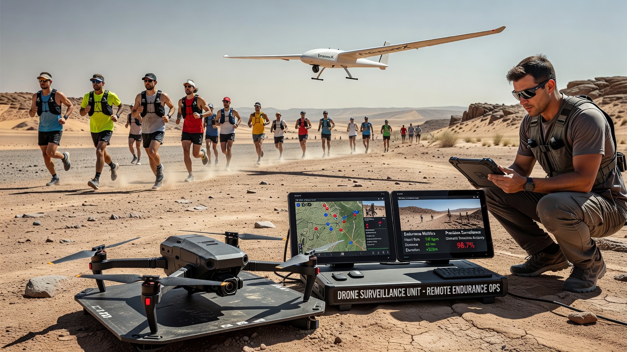
Raw footage and telemetry streams move from drones into centralized platforms that merge with wearable sensor data from athletes. Organizers then publish cleaned datasets that include elevation profiles, pace variations, and hydration checkpoints. These records support post-event reviews by medical staff and feed into training software used by professional teams preparing for the next season. One documented case involved a 2025 Patagonian stage race where drone-derived wind data helped explain unexpected slowdowns on exposed ridgelines, information that later appeared in coaching reports distributed across several national federations.
Event promoters also share portions of this data with equipment manufacturers testing new footwear and apparel under extreme conditions. The resulting product development cycles have shortened because field measurements arrive days instead of weeks after races conclude. Observers note that the same precision tools now appear in preparatory events scheduled for September 2026, where organizers test scaled-down drone fleets ahead of larger multi-stage competitions.
Safety and Environmental Monitoring Benefits
Beyond timing accuracy, drones perform continuous environmental scans that alert crews to flash flood risks, rockfall zones, and temperature drops that affect exposed participants. During one documented European alpine event, real-time imagery prompted rerouting of a high traverse after drones identified fresh snow accumulation on a key col. The adjustment prevented multiple hypothermia cases and preserved the integrity of the overall competition schedule.
Wildlife protection agencies have begun collaborating with race directors to review drone flight logs after events. The shared records help confirm that aircraft maintained required buffer distances from nesting sites, satisfying permit conditions while still delivering the coverage needed for athlete safety. This cooperative approach has expanded to include indigenous land management groups in North American desert races where cultural site protection overlaps with course boundaries.
Future Developments on the Horizon
Engineers continue refining swarm coordination software that lets multiple drones hand off coverage duties without pilot intervention. Early trials conducted in 2026 Australian desert events demonstrated seamless transitions between units when battery levels reached preset thresholds. The same systems incorporate machine learning models trained on past race telemetry to predict where congestion or course deviations are most likely to occur, allowing proactive repositioning of camera assets.
Hardware upgrades now under testing include lighter multispectral sensors capable of mapping vegetation changes along remote trails and compact radar units that penetrate dust storms common in arid competitions. These additions could further reduce reliance on ground crews stationed at distant aid stations. Data from these enhanced platforms will likely inform the design of September 2026 events that extend into previously unmapped regions.
Conclusion
Drone surveillance has become integral to remote endurance competitions by supplying precise positional data, environmental monitoring, and safety oversight that ground-based systems cannot match. Regulatory updates from agencies such as the European Union Aviation Safety Agency and Transport Canada have cleared pathways for broader deployment, while integrated data pipelines now support performance analysis across multiple stakeholder groups. As equipment and coordination software continue to advance, the same technologies stand ready to underpin the growing calendar of events planned through September 2026 and beyond.